- Locations
- Hubbard Glacier
- Images of the Hubbard Glacier
Images of the Hubbard Glacier
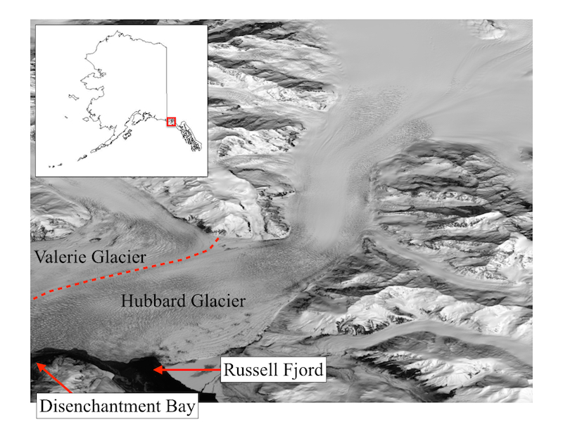
Location of Hubbard Glacier, Valerie Glacier, Disenchantment Bay, and Russell Fiord.
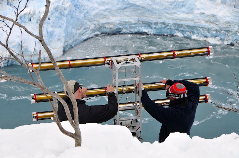
Setup of a scanning Radar system, run by Gabe Wolken of DGGS, for tracking glacial movement. May 2013. Credit: Adam LeWinter, CRREL
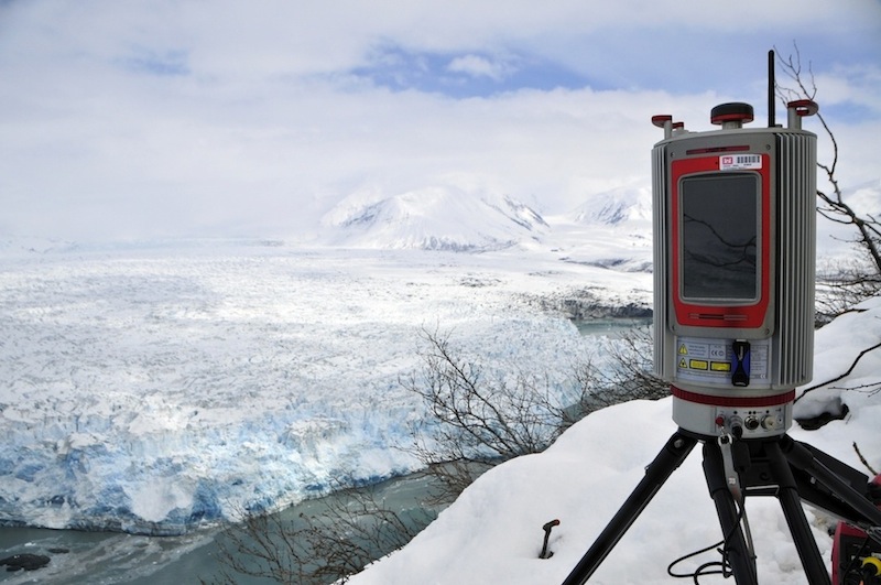
Riegl VZ-6000 long-range LiDAR system setup at Hubbard Glacier, scanning the glacier every 5-minutes, capturing a 3-dimensional point-cloud time-lapse for monitoring glacial motion and deformation. May 2013. Credit: Adam LeWinter, CRREL
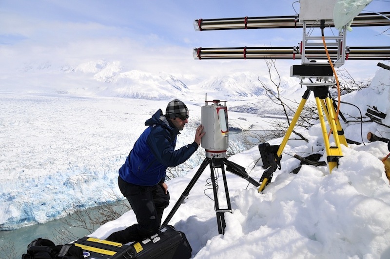
Adam LeWinter configuring the Riegl VZ-6000 long-range LiDAR system at Hubbard Glacier. May 2013. Credit: Adam LeWinter, CRREL
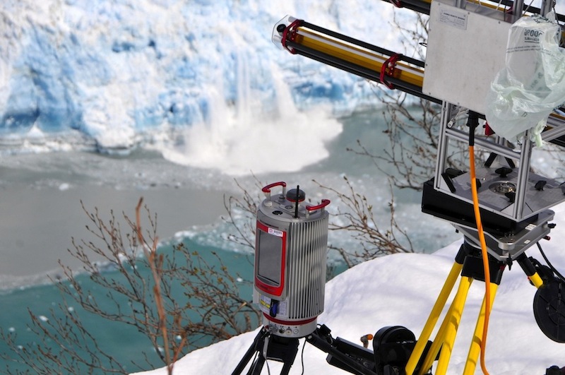
Small calving event while the Radar and LiDAR units survey the Hubbard Glacier. May 2013. Credit: Adam LeWinter, CRREL
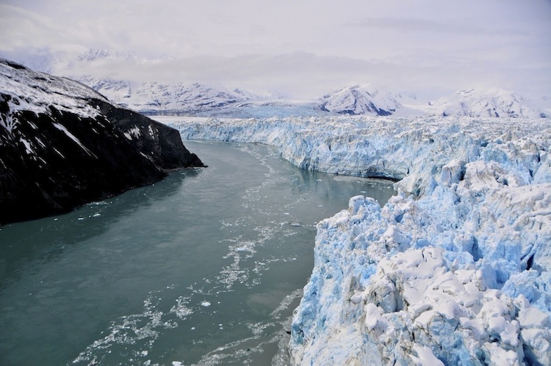
View looking West through the gap between Hubbard Glacier and Gilbert Point. As the glacier advances, the potential for the formation of an ice dam occurs. May 2013. Credit: Adam LeWinter, CRREL
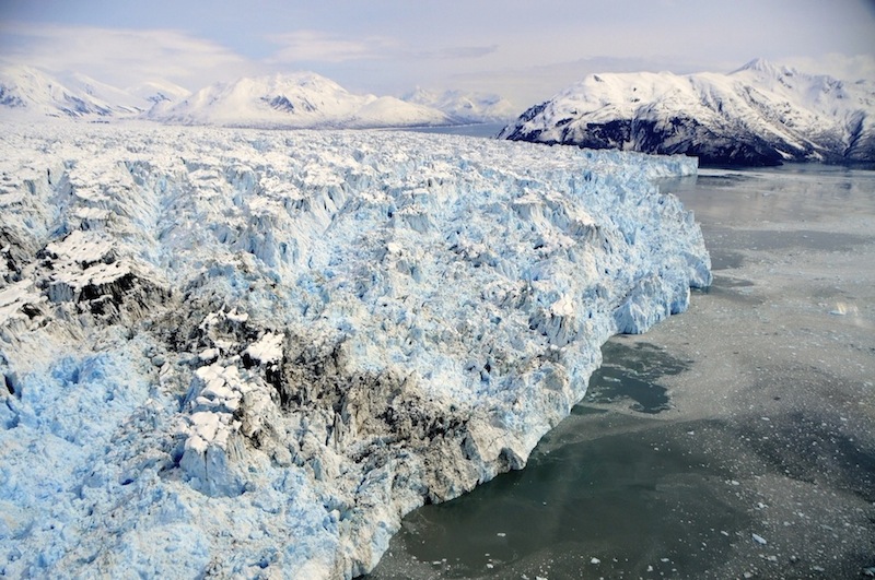
Hubbard Glacier calving front with Gilbert Point in the background. May 2013. Credit: Adam LeWinter, CRREL
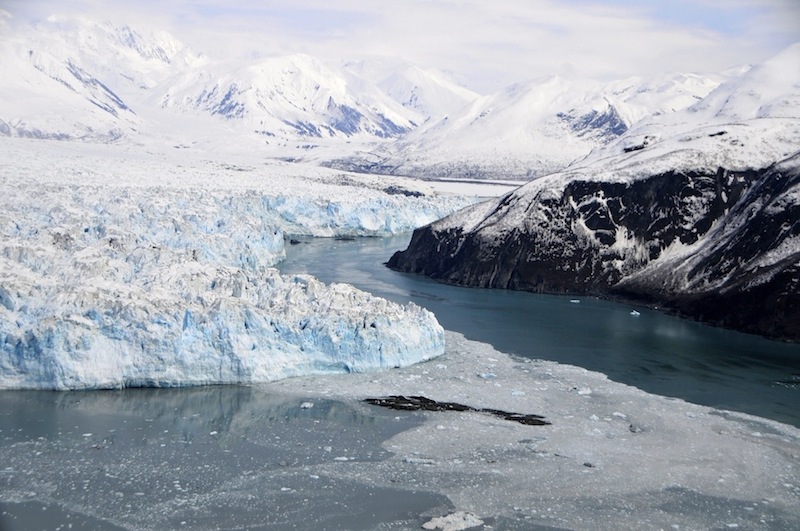
View looking East through the gap between Hubbard Glacier and Gilbert Point. May 2013. Credit: Adam LeWinter, CRREL
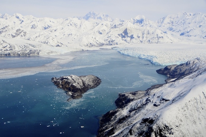
Hubbard Glacier. May 2013. Credit: Adam LeWinter, CRREL